An atlas of open data
The UK in depth, Europe in view.
Climate, air, rivers, wildlife and heritage across the UK, and people, land and nature across Europe, on interactive maps: stack layers, click anywhere to see what is there, and watch it change year by year. Built only from open data, with the caveats left in.
- 180Layers of open data
- 6Maps: Environment, Energy, Transport, Land & heritage, Curiosities, Europe
- 165Datasets, each with its licence and credit
- 25Years of climate data, 2000-2024
- 0Cookies, accounts or trackers
What you can explore
Six maps, one engine.
Switch layers on and off, fade them, stack them, and slide through time. Everything you see is labelled as observed, modelled, projected or live.
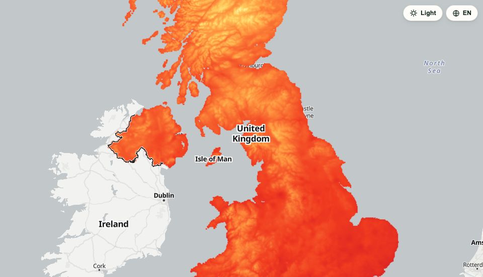
Environment
Climate, air, water, nature and protected land, from 2000 to projected 2070s warming.
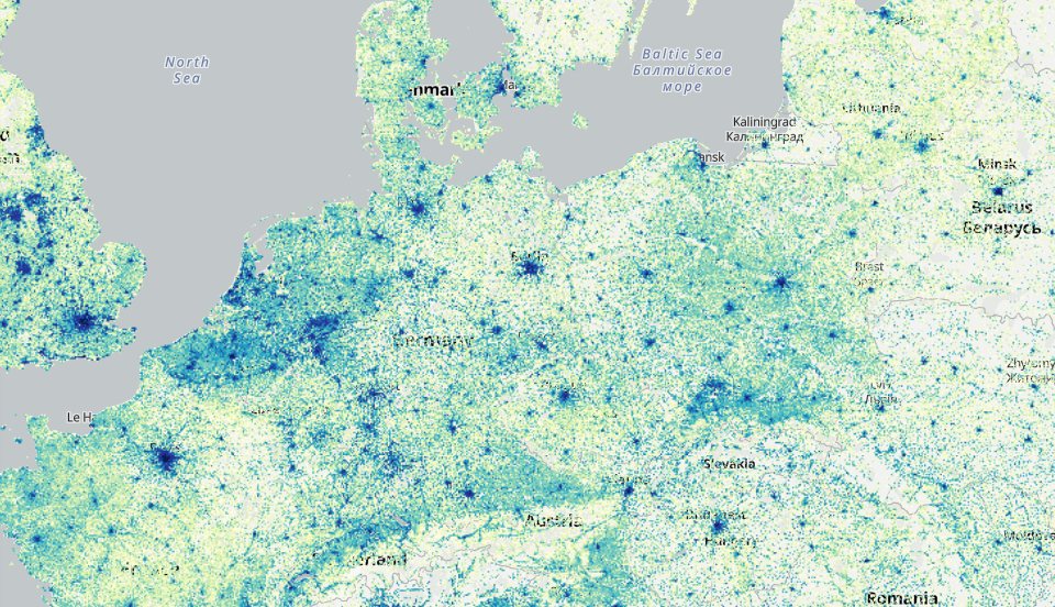
Europe
Europe-wide layers beyond the UK, each from open data that can be reused commercially: where people live, how high the land is, how old the buildings are and where nature is protected.
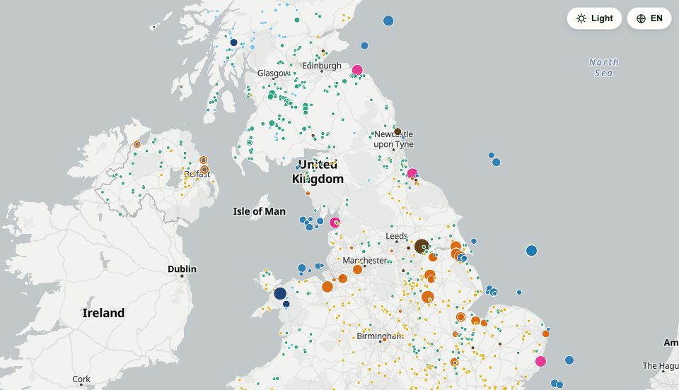
Energy
Where Britain’s power comes from, how much it uses, and how clean the grid is right now.
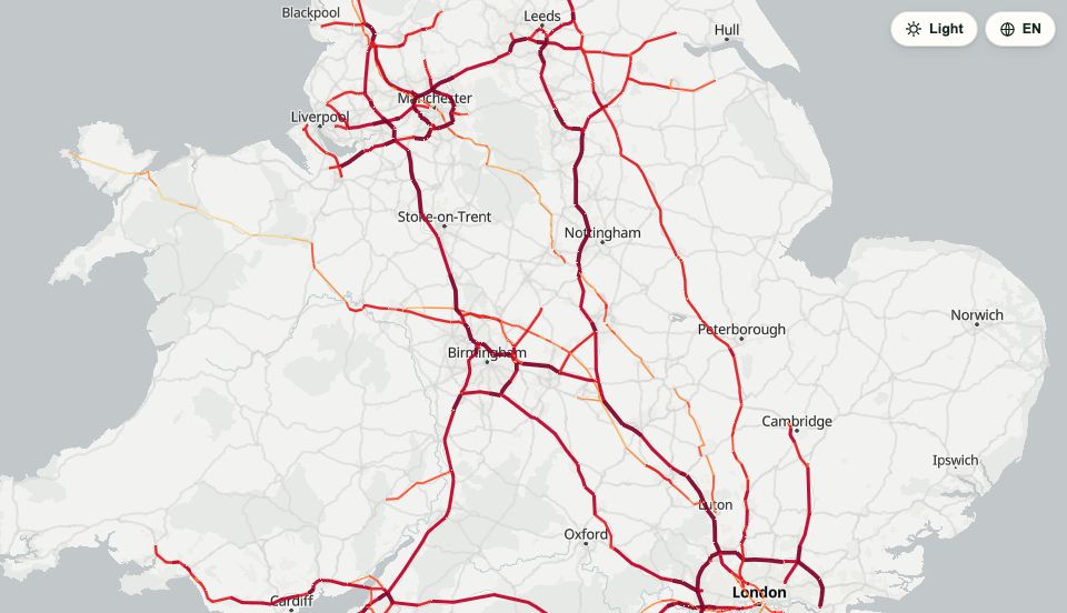
Transport
How Britain moves: traffic, EV chargers, and who lives near a railway station.
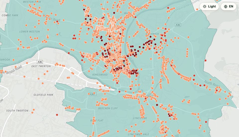
Land & heritage
Where you can go, and what is protected. Who owns the land is not open data, so it is not shown.
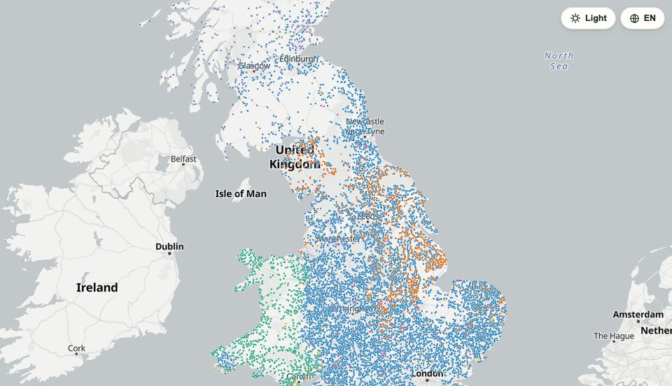
Curiosities
How people live, neighbourhood by neighbourhood and council by council, beside Britain’s silliest place names.
Guided stories
Start with a question.
Each story walks the map through a few steps, changing layers, years and places as you go.
How Britain's trade has changed since 1997
China's trade with the UK grew 24-fold since 1997: from a minor partner to Britain's biggest deficit.
England's storm overflows: how often they spill, and what that means for the beaches
Five years of spill counts for 14,303 sewage overflows across England, and what they say about the bathing water each one is linked to. A real link, but a messy one.
From empire to Commonwealth
At its peak it covered about a quarter of the world's land, built on conquest, slavery and extraction. Today 56 countries are in a voluntary club, and five of them were never British colonies.
Where does Britain's electricity come from?
Gas, nuclear, wind and the end of coal on a map of every larger power station, and how much of that capacity is really being generated.
Where the Vikings named their villages
Place names are a fossil record: Old Norse, Old English, Roman and Celtic names sort themselves across the map.
How has Europe’s air changed since 2010?
Weighted by where people live, Europe’s nitrogen dioxide fell by 45% between 2010 and 2024. Fine particles fell by 40%, yet 96.4% of people still live above the WHO guideline.
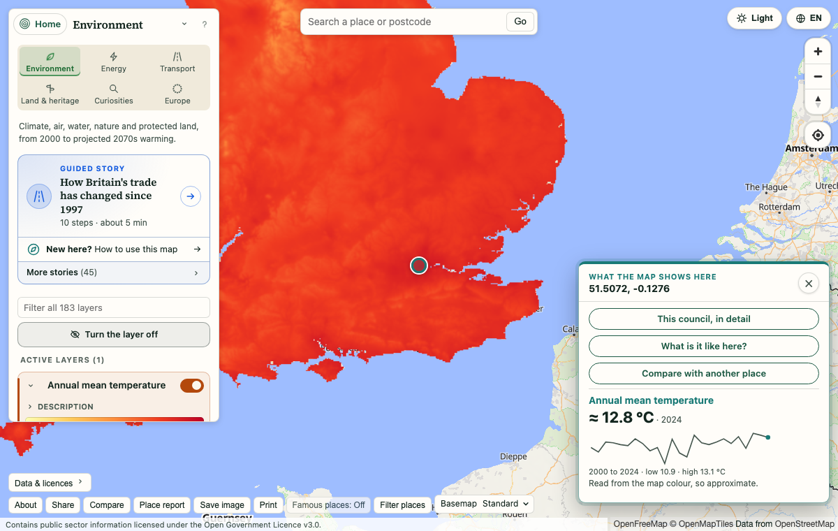
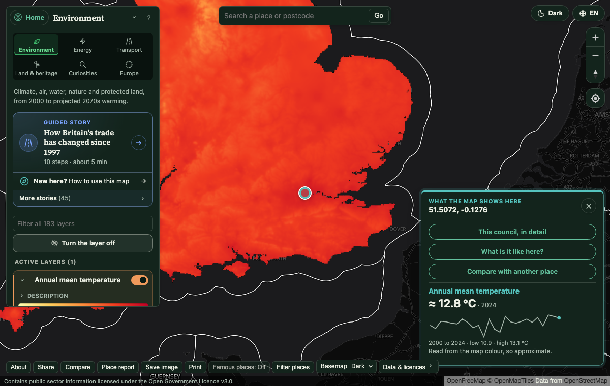
Click anywhere
Ask the map what is here.
Every layer answers a click. Rasters give you a reading and a chart of that spot across the years; polygons tell you what the place is.
- Approximate values read straight from the map colour, and labelled that way.
- A small history chart for that exact spot, 2000 to 2024.
- Search a place name or postcode and get a snapshot of what it is like there.
- Share the exact view with one link: layers, year and position are all in the address.
What is new
Recently added.
Lakes and rivers across Europe
About 102,000 lakes and reservoirs and the great rivers, coloured by type, with area, depth and volume where the data has them.
Europe mapEurope’s lights at night
Every year from 1992 to 2024, from the east switching on to a warning about the satellite change in 2014.
Europe mapWhere Europe lost its trees
Tree cover from 2000 to 2024: the fires of Portugal and Greece, and the forestry cycle of the north.
Europe mapWater gained and lost
A reservoir that filled in Portugal, a lake that shrank in Turkey and one that emptied in Ukraine, from thirty-five years of satellite pictures.
Something missing?
Tell us what to map next.
Is there a map, a country or a place you would like added? Say so here: nothing leaves your browser until you send it yourself.
Go and have a look.
Type a place or a postcode, or just start clicking. Nothing to install, nothing to sign up for.